


A new digital atlas, published on Thursday, has revealed the ancient Roman road network stretched an astonishing 50 per cent further than previously understood, challenging long-held perceptions.
Updating an atlas compiled 25 years ago, this new publication leverages technological advancements and newly accessible sources to greatly improve the location of ancient routes.
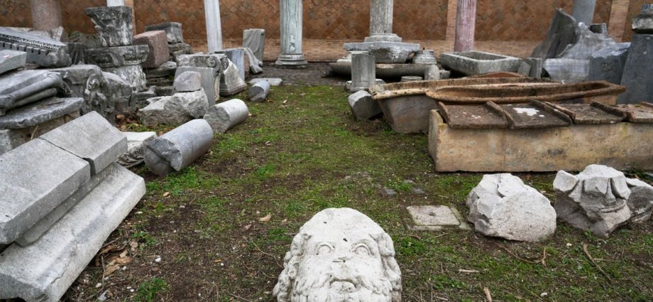
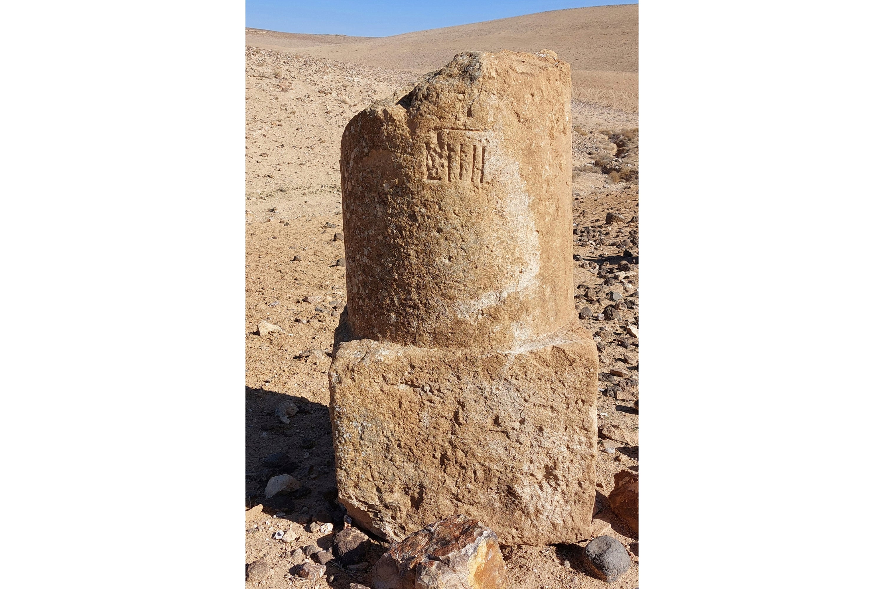
Over five years, archaeologists meticulously examined historical records, ancient journals, and milestone locations. They then utilised satellite imagery and aerial photography, including recently digitised World War II photos, to find clues.
Where ancient accounts hinted at lost roads, scientists analysed terrain from above for subtle traces. These included faint differences in vegetation, soil variations, or shifts in elevation, alongside Roman engineering signs like raised mounds or cut hillsides, ultimately revealing the forgotten lanes.
“It becomes a massive game of connecting the dots on a continental scale,” said Tom Brughmans, an archaeologist and co-author of the study published in Scientific Data.
The data and an interactive digital map are also available online for scholars, history teachers or anyone with an interest in ancient Roman history.
Earlier research had focused on “the highways of the Roman Empire” — the large thoroughfares most often mentioned in familiar historical accounts, said Brughmans.
The updated map fills in more obscure details about “secondary roads, like the country lanes, that connected villas and farms” and other locations, said Brughmans, who’s based at Aarhus University in Denmark.
Researchers previously tallied the extent of Roman roads as covering around 117,163 miles (188,555 kilometers). The new work shows nearly 186,000 miles (300,000 kilometers) of roads across the extent of the Roman Empire, allowing travel from Spain to Syria.
The study added a lot to archaeologists’ knowledge of ancient roads in North Africa, the plains of France and in the Peloponnese peninsula of Greece.
“This will be a very foundational work for a lot of other research,” said archaeologist Benjamin Ducke of the German Archaeological Institute in Berlin, who was not involved in the project.
But one caveat, he said, is that it’s still not clear if all the roads were ever open and active at the same time.
Being able to visualize the ancient routes that Roman farmers, soldiers, diplomats and other travelers took will provide a better understanding of key historical trends that depended on the movement of people during Roman times, said Brughmans, including the rise of Christianity across the region and the spread of ancient outbreaks.
“The Romans left a huge impact with this road network,” which created the blueprint for many roads still in use today, said study co-author and archaeologist Adam Pažout of the Autonomous University of Barcelona.
Roman engineering feats to build and maintain roads — including arched stone bridges and tunnels through hillsides — still shape the geography and economy of the Mediterranean region and beyond, he said.